Tillage and Cover Crop Survey
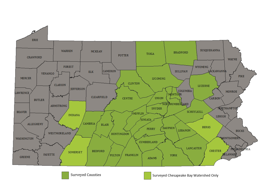
Each spring and fall since 2012, Capital RC&D, with support from the PA Department of Environmental Protection (DEP), coordinates a survey of tillage/crop residue and cover crop practices on agricultural acreage in selected counties within the Chesapeake Bay watershed in Pennsylvania. The work is completed with technical support from the conservation district in each surveyed county, in addition to a survey team comprised of an experienced agricultural technician and a GIS intern.
|
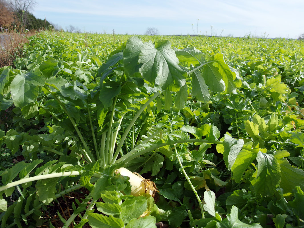
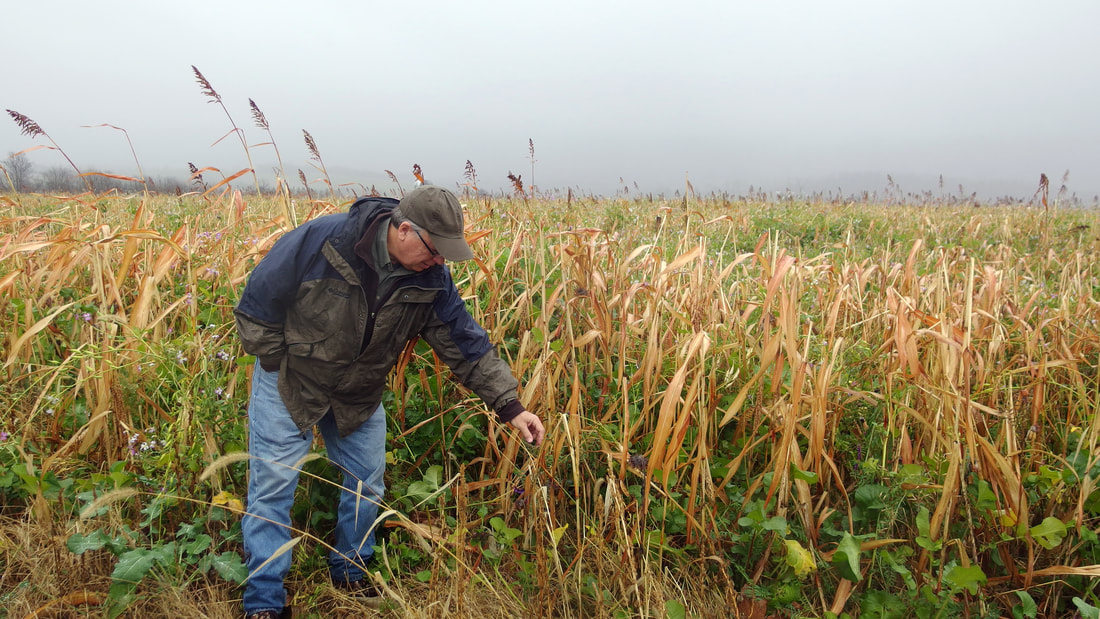
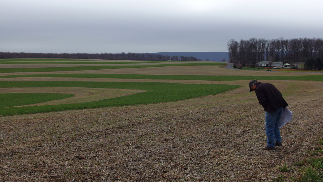
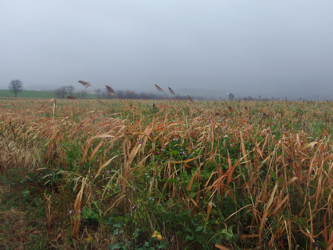
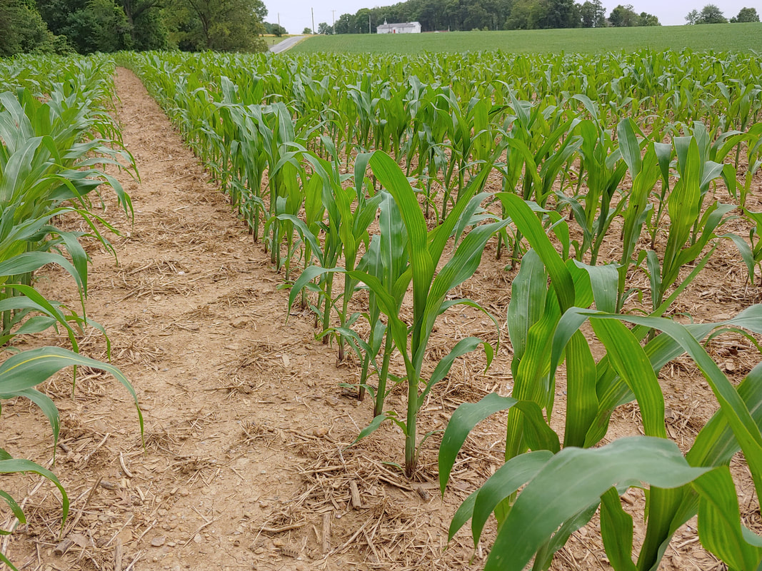
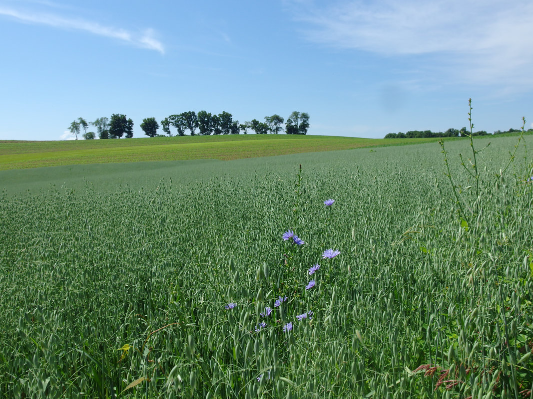
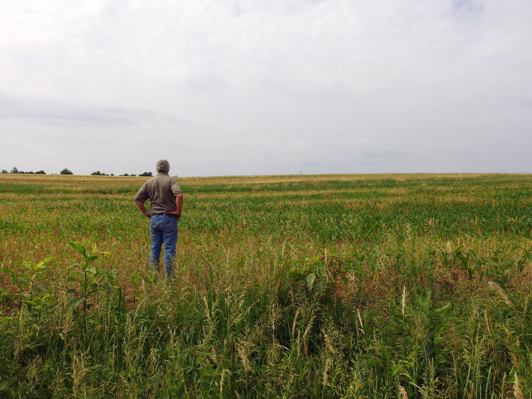
The team travels a predetermined route in each county and stops at regular intervals to capture information about land use and agricultural activity at each stop. At sites with crop fields, the team collects data about the crop type, cover crop remnants, indications of tillage or soil disturbance, and how much plant material (residue) is remaining from the previous crop. The teams return to the same points in each county, first, in the fall, to survey cover crop use and then in the spring for the tillage survey. The data collected helps show the extent to which farmers are using conservation practices that impact the quality of our waterways.
|
